Smart Tech Garden City

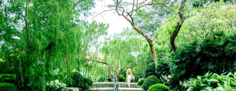
Singapore may be a city state, but it is certainly far from being a concrete jungle.
Citizens and residents enjoy the use of parks located throughout the island; wildlife such as hornbills and otters can often be spotted along urban park connectors; and visitors often remark at the city’s tree-lined streets and highways.
The task of greening the country falls largely to the National Parks Board (NParks).
In its quest to turn Singapore into a ‘City in a Garden’, NParks has become an avid user of smart technology, said Assistant Chief Executive Officer for Corporate Development and Services, Mr Tan Chong Lee.
He chatted with TechNews about how smart technologies are helping to guide Singapore’s sustainable living and conservation strategies.
Q: How does NParks contribute to Singapore’s Smart Nation aspirations?
To enhance Singapore’s lush and verdant greenery, NParks is harnessing science and technology to advance our capabilities in greening and conservation management, while working with the community to realise our City in a Garden vision.
We are happy to see that our efforts are paying off.
According to a study conducted by the MIT Senseable City Lab, Singapore currently has one of the highest densities of green cover in the world among cities.
Q: What is the role of technology in NParks’ mission to build a sustainable living environment in Singapore?
Technology plays a key role in our data collection efforts. Data is used extensively in modelling, which helps guide our long-term conservation management strategies.
For example, we place geo-locaters and satellite transmitters on migratory birds to monitor them and collect data about them, so that we can provide the right kind of habitats for these birds to feed and roost. We also use camera traps (motion-activated cameras) to study the movement of wildlife.
Another good example is how agent-based modelling helped in the selection of a location for Singapore’s first marine park. The model showed how coral larvae from local reefs were dispersed, and predicted where they would settle. It indicated that the Sisters’ Islands were a good source of reefs that could populate other reef areas in Singapore. As such, the Sisters’ Islands were identified as a suitable site for a marine park.
Another key technology area is geospatial information systems (GIS).
All our roadside trees are geo-tagged — we are one of the few cities in the world to do this at such a comprehensive scale.
Each tree’s key bio-data is made available on mobile devices to all our field officers, and this helps them carry out inspection and maintenance of our trees.
Q: How do you keep abreast of the latest developments in relevant technologies? How do you test out technologies and decide which to adopt?
Through the teams at the Centre for Urban Greenery and Ecology as well as the National Biodiversity Centre, NParks plays a pivotal role in developing capabilities to support our greenery management and conservation efforts. As these often require expertise from various fields, we also collaborate with different government agencies, institutes of higher learning and research institutes.
For new technologies, we typically start with a proof of concept.
We develop a prototype and see if this can address our different test scenarios before we come up with a pilot. By analysing the data collected, we then decide which technologies to develop further and eventually adopt.
We generally start small and scale up progressively.
Q: How can ordinary citizens get involved in tech-driven initiatives aimed at promoting sustainable living?
NParks has various citizen science programmes that encourage stewardship of nature amongst Singaporeans. Concurrently, these programmes collect information through crowdsourcing that will inform our conservation management strategies.
Our SGBioAtlas app provides a convenient platform for the public to easily report and share sightings of biodiversity in their everyday lives.
For example, during Heron Watch Week, the public used this app to map heron sightings throughout Singapore.
Q: What are some new and exciting initiatives in the pipeline?
We are embarking on a project to create 3D models of our urban trees using point crowd data collected from Light Detection and Ranging (LIDAR) scans.
This has the potential to fundamentally change the way we manage our greenery.
With a biologically and semantically accurate 3D model, we can, for instance, study the behaviour of a particular tree under varying environmental conditions of rain and wind. We can then adapt our tree management practices based on this. There are also other potential applications of this project, such as in landscape design, education and outreach.
We have also been using smart tools in the field to increase the efficiency of our operations and reduce reliance on manpower. For example, by remotely tracking the GPS location of lawn mowers and using sensors to detect the height of the grass, we have reduced the need for on-site inspections of our grass-cutting works.
Q: What is your ideal vision of a green Singapore 50 years in the future?
I envision that the next generation will continue to enjoy pervasive greenery as well as our natural heritage, and that Singaporeans will take ownership of our City in a Garden.
Singapore will become a truly biophilic city, with greenery not just in our parks, gardens and nature reserves, but also in all our buildings and structures.
Technology will continue to be a key enabler in this quest to realise our vision!
(Editor: Do check out our previous TechNews story on the technologies that NParks deploys in the field.)
https://www.tech.gov.sg/media/technews/smart-tech-garden-city
